PASADENA, Calif. - In a significant leap for geological exploration and the green energy transition, NASA has deployed its next-generation hyperspectral sensor, AVIRIS-5, to map critical mineral deposits from the edge of the atmosphere. According to reports from the Jet Propulsion Laboratory (JPL) and Interesting Engineering emerging in December 2025, the instrument is now operational aboard NASA's ER-2 high-altitude aircraft. This mission marks a pivotal moment in the United States' effort to secure domestic sources of lithium and other materials essential for battery production and renewable energy infrastructure.
The AVIRIS-5 (Airborne Visible/Infrared Imaging Spectrometer) represents the pinnacle of remote sensing technology. By flying at altitudes of approximately 60,000 feet, the sensor is currently supporting the U.S. Geological Survey's (USGS) Earth Mapping Resources Initiative (Earth MRI). This collaboration aims to identify potential mineral zones without the immediate need for invasive ground drilling, effectively revolutionizing the "first mile" of mineral exploration.
Seeing the Invisible: The Tech Behind the Scan
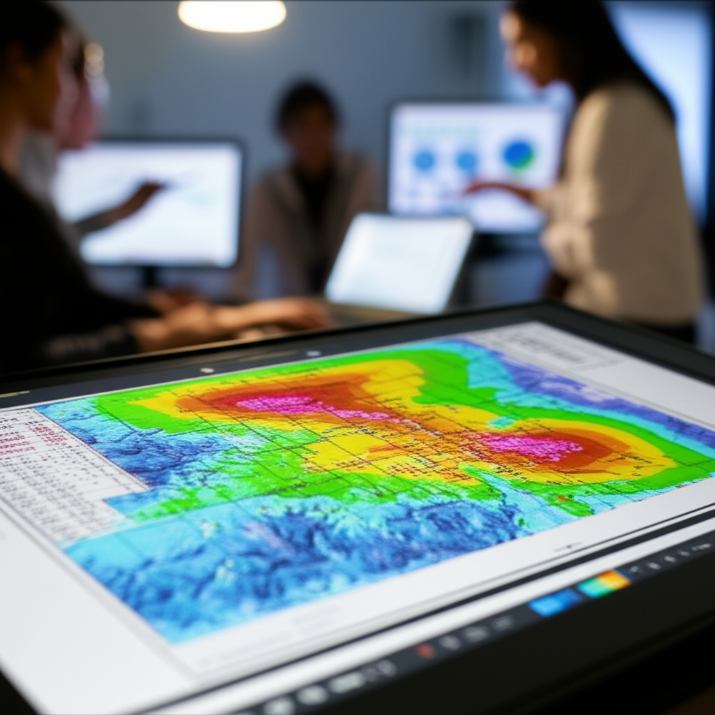
The core of this breakthrough lies in hyperspectral imaging. While the human eye sees only visible light, and traditional broadband sensors like Landsat group light into wide buckets, AVIRIS-5 offers forensic precision. According to NASA specifications, the instrument detects reflected sunlight across 224 contiguous spectral channels, ranging from visible light to the shortwave infrared (380 to 2510 nanometers). This allows the sensor to identify materials based on their unique absorption and reflectance properties.
"About the size of a microwave oven, AVIRIS-5 detects the spectral 'fingerprints' of minerals and other compounds in reflected sunlight." - NASA Jet Propulsion Laboratory
This capability is particularly crucial for distinguishing between chemically similar compounds that broadband sensors cannot separate. By analyzing these spectral fingerprints, AVIRIS-5 can pinpoint surface manifestations of lithium-bearing minerals, rare earth elements, and other geological indicators that suggest vast underground deposits.
From Earth to Orbit and Back
The AVIRIS-5 is not an isolated development. NASA data indicates it is identical in design to the Earth Surface Mineral Dust Source Investigation (EMIT) imaging spectrometer currently mounted on the International Space Station. This standardization allows for seamless data integration between airborne campaigns and orbital observations. While satellite data provides global coverage, the airborne AVIRIS-5, flying closer to the surface on the ER-2, offers higher spatial resolution, bridging the gap between space-based surveys and ground-level geology.
Implications for the Critical Minerals Race
The timing of this deployment is significant for both economic and political stakeholders. As the global demand for electric vehicles (EVs) and renewable energy storage accelerates, the supply of lithium has become a matter of national security. Traditional mineral exploration is time-consuming, expensive, and environmentally intrusive. By utilizing AVIRIS-5, the USGS Earth MRI campaign can prioritize specific zones for detailed study, reducing the environmental footprint of exploration and accelerating the timeline for resource development.
Furthermore, the technology's application extends beyond discovery. Phys.org reports that the sensor supports large-scale mineral surveys such as the GEMx (Geological Earth Mapping Experiment). Beyond prospecting, this technology is vital for environmental management. The ability to detect subtle chemical variations allows regulators to monitor mine rehabilitation, track acid mine drainage, and assess vegetation health in areas affected by extraction industries.
Outlook: The Future of High-Altitude Geology
Looking ahead to 2026, the data collected by AVIRIS-5 is expected to become a cornerstone of the USGS's modernization efforts. With its ability to collect data in 12-bit quantization across 224 bands, the sensor provides a dataset of unprecedented richness. Experts anticipate that as this data is processed and made public, it will spark a new wave of targeted exploration across the Western United States and other surveyed regions.
The successful deployment of AVIRIS-5 demonstrates that the future of mining lies not just in heavy machinery, but in advanced photonics and data science. By looking down from the stratosphere, NASA is helping to uncover the building blocks of a carbon-neutral future, ensuring that the hunt for critical minerals is as efficient and precise as the technologies they will eventually power.